Wayanad
Formed in the year 1980 on November 1st, Wayanad is a district in north-east Kerala. It was formed as Kerala’s 12th district. It’s the only district in Kerala that borders both the neighbouring states, Karnataka (Mysore, Chamarajanagar and Kodagu (also known as Coorg) districts) and Tamil Nadu (Nilgiris district).Kalpetta is the district headquarters. Wayanad has three municipal towns, Kalpetta, Sulthan Bathery and Mananthavady. Unlike all other districts in Kerala, Wayanad has no town named after it. That is, there is no Wayanad town.
Wayanad district is located in the southern tip of the Deccan Plateau on the Western Ghats at an altitude ranging from 700m to 2,100m. This region was earlier known as Meyakshetra or Maya’s Land. Later, it evolved into Mayanad and then, finally into Wayanad. Folk etymology says that Wayanad evolved from “Vayal Nadu” wherein, “Vayal” meaning ‘paddy field’ and “Nadu” meaning ‘land’. The words together meant ‘the land of paddy fields’.
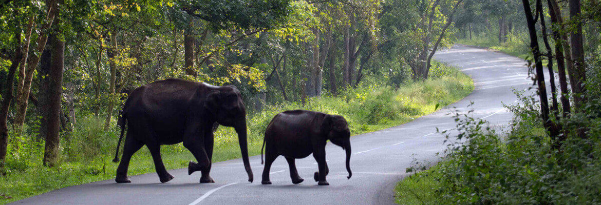
This district is the least populous district in Kerala with the largest number of tribal population. The major parts of this district are covered with thick forests. Therefore, it has many scenic places that attract many.
Major Attractions in Wayanad
Ambukuthi Mala
Located almost 10 km from Sulthan Batheri, near to Ambalavayal is the famous hill range called Ambukuthi Mala or Ambukuthi Hill. The famed Edakkal caves are located 1,000 metres above the ground on this Ambukuthi Mala.
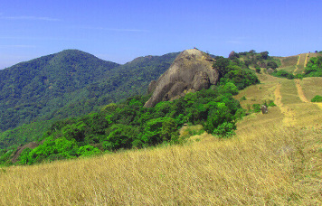
Chembra Peak
Chembra peak is situated in the town of Meppady in Wayanad, Kerlala. Chembra peak is ideal for trekking. Chembra pond, a heart shaped pond, whose water is believed to have never dried up, can be found on this peak.
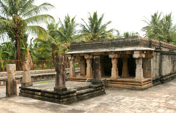
Edakkal Caves
Located on top of the Ambukuthi Mala, the structure of the Edakkal Caves is such that a big rock got wedged between two bigger rocks. Thus its name was derived from its structure. The Edakkal Caves bear great historical significance. Pictorial writings believed to be from 6,000 BC could be found inside the caves.
Kuruva Dweep
This is an uninhabited island which is covered by thick evergreen forests. In order to reach Kuruva Dweep, one can use rafts to access the Kabani River.
Pookode Lake
Pookode Lake is a fresh water lake which is in the shape of India’s map. This lake is at an altitude of 770 metres above sea level.
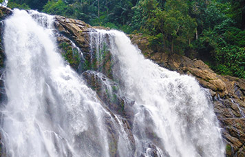
Soochipara Falls
Soochipara Falls is a three-layered waterfall in Vellarimala. This waterfall is also known as Sentinel Rock Waterfalls.